UN Assembly Votes 164-1 to Promote a World Map That Shows Africa at True Size
The General Assembly backed an equal-area projection over the familiar Mercator, and France said the same day it would adopt the new map.
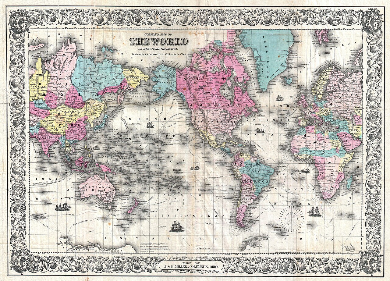
The United Nations General Assembly voted on Friday to promote a world map that represents landmasses at their true relative size, carrying the measure 164 votes to one.
The vote takes aim at a distortion most people have looked at their whole lives without noticing. The Mercator projection, designed in the sixteenth century for maritime navigation, preserves direction at the cost of area — and the cost falls hardest near the poles. On a Mercator map, Greenland appears roughly the size of Africa. In reality Africa is about fourteen times larger.
Why a map projection reached the General Assembly
African delegations have argued for years that the distortion is not a harmless technical artefact. A map that shrinks a continent in every classroom, newsroom and boardroom that displays it shapes assumptions about that continent's scale and significance, quietly and continuously.
The resolution does not ban anything. It commits the UN to promoting an equal-area projection in its own materials and encourages member states to do the same — a soft instrument, but one aimed at institutions that produce a great many maps.
France moves the same day
France announced on Friday that it would adopt the new projection, becoming the first major state to commit publicly following the vote. The speed of that announcement suggests coordination ahead of the ballot rather than a spontaneous response.
The trade-off nobody can escape
Every flat map of a round planet distorts something. Cartographers have known this since Mercator: you can preserve area, or shape, or direction, but not all three. Equal-area projections such as Gall-Peters and Equal Earth keep proportions honest and pay for it in distorted shapes, particularly at high latitudes.
The General Assembly's judgement is that for general-purpose maps — the ones on classroom walls rather than ships' bridges — getting the sizes right matters more than getting the outlines pretty.
What happens now
Implementation is voluntary and will be uneven. UN publications are the immediate test; national education ministries, atlas publishers and the digital mapping platforms that most people actually use are the ones that would make the change stick. None of them are bound by Friday's vote.